Stockpile Volume Measurements
Cubic-yard reports for aggregate, asphalt, dirt, and material yards. Repeatable monthly contracts. Accuracy ±2-5% with GCPs.
from
Customquote
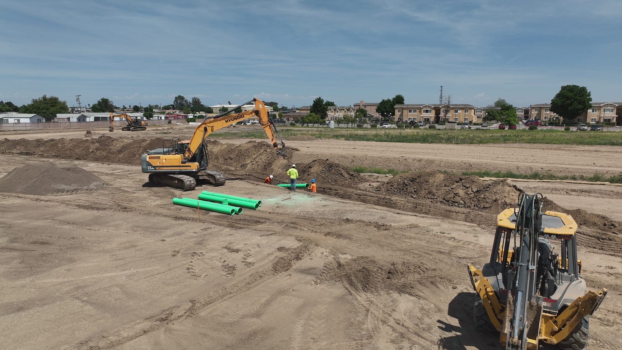
Construction & Road Infrastructure
Stockpile volumes, weekly progress maps, earthworks cut/fill, and as-builts — captured across NorCal under FAA Part 107, ready for your engineer of record.
For project managers and superintendents
What we deliver
Every package below ships with a written summary and raw data files — no proprietary lock-in.
Cubic-yard reports for aggregate, asphalt, dirt, and material yards. Repeatable monthly contracts. Accuracy ±2-5% with GCPs.
from
Customquote
Pre-grade vs as-graded comparisons. DEM differencing, contour overlays, volumetric balance reports. PDF + GeoTIFF + KML.
from
$1,200/ site
Weekly or biweekly orthomosaic + 4K aerial video. Time-lapse compilation. Mobile-ready PDFs for owner / lender reporting.
from
$350/ week
High-res orthomosaic, DEM, and topo overlays before breaking ground. Includes vegetation / structure inventory.
from
$1,000/ site
Final-condition orthomosaic + 3D model + photo report. Closeout-ready for owner handover.
from
$1,200/ site
OSHA-relevant aerial documentation, fall-zone mapping, exclusion zone inspection. Insurance-ready records.
from
Customquote
Recurring contracts (3+ months) get preferred per-flight pricing. Volume discounts on multi-pile sites. Custom enterprise pricing for portfolios.
How we work
We review plans, identify GCP locations, confirm airspace.
GCPs deployed, M3M flight plan executed (1–3 hrs typical).
Pix4D / DroneDeploy / DJI Terra — orthomosaic and analysis.
PDF report + GIS layers (GeoTIFF, KML, LAS), typically within 48–72 hrs.
Common questions
Ready to fly
Get a same-week site quote. We typically respond within one business day.